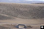
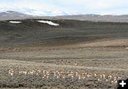
Pronghorn group
A group of about 75 pronghorn work their way north along the sagebrush hills on the east side of the Green River, just south of Trappers Point.
|

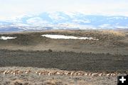
On the move
The group stays close together and move as one in whatever direction the leader picks for them to go.
|

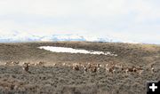
Going behind the deer
Moving quickly, the herd runs around a group of mule deer grazing in the sage brush just south of Trappers Point. The antelope move with purpose headed north.
|

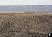
Start off to the left
Topping the hill, the leaders start to take the group to the left, then stop and completely change directions. The movements are like a school of fish in which way the group goes.
|

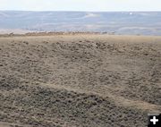
To the west
Changing their minds, the herd switches directions and heads right, to the west towards Trappers Point monument.
|

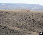
Top of the hill
The herd reaches the hilltop break and the leaders pause for a moment to look around.
|

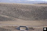
Over the top
The herd runs over the crest of the hill and down the north side, appearing to head straight towards the highway underpass.
|

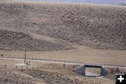
Veer off to the left
The leaders won't go further down the hill to the highway underpass. They veer off to the left and go back to the top of the hill. The animals behind them try to follow the circular path, but the group appears bewindered on the way to go.
|

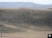
Bewildered
The leaders have come full circle and are back on top of the hill looking around for where to go. The animals mid-hill stop and wait for the leaders to come back down from the top and show them where to go next.
|

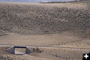
Underpass a No-Go
Despite the funneling fence lines, and the underpass to let the animals safely cross under the highway, this group does not want to go further down the hill to take the route to cross under the highway. The leaders shift the group to the right on the sidehill and spot an opening in the fence line.
|

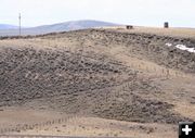
Spot the way out
The leaders see the fence opening and quickly run over to get out of the funnel fencelines.
|

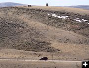
A brief pause
The leaders take the group through the opening in the cross fence, and pause briefly to see where they can go next. The right-of-way fence prevents them from going down to the highway, so they begin to run to the top of the hill as they work their way west.
|

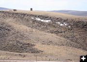
Through the fence gap
The herd moves through the fence opening and keep moving west.
|

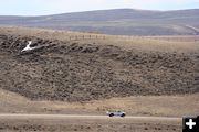
Running to the hilltop
Once through the gap in the fence, the herd takes off running to the top of the hill. Unsuspecting traffic speeds by on Highway 191 below them. Wildlife warning lights still have not been triggered by this group.
|

Following the fence line
The group follows the fence line over the hill and drop into the Green River Valley side of Trappers Point.
|

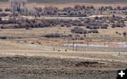
Following the rightofway fence
The herd follows the right-of-way fence off the top of the hill, then crawl under the fence to get to the edge of the highway. Antelope rarely jump fences, prefering to crawl under the bottom wire.
|

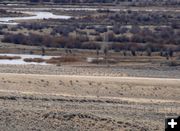
A brief pause
The lead pronghorn pauses only briefly on the edge of the highway before darting across to the other side. The rest follow close behind. Fortunately, no cars were coming at the moment the herd darted across.
|

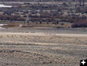
Main group crosses
The lead antelope crosses first and the rest quickly follow staying close together in their group.
|

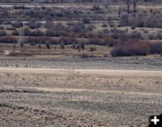
Main group cross
The main pronghorn group cross the highway very quickly. There were no cars coming in either direction at the time these animals crossed the highway
|

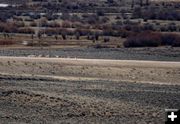
Stragglers cross
The last of the stragglers get through the right-of-way fence and cross the highway to catch up with the rest of the group. The herd crossed in a gap in the traffic.
|

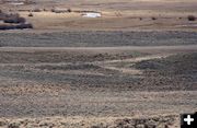
All finally across
All the animals crossed safely to the north side of Highway 191.
|

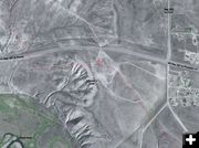
Travel Path
Satellite image showing the approximate path this group of pronghorn took to get across Hwy 191 at Trappers Point, just west of the intersection of US Hwy 191 and Cora Hwy 352. Direction of travel is from the bottom right, north to the top left. Land west of Hwy 352 is public BLM. A private land housing subdivision lies on the east side of Hwy 352 (right). Total time for this group to travel the distance in this photo was approximately 30 minutes on Saturday, April 15. (2002 satellite photo enhanced by Pinedale Online)
|
| |
