Pinedale Online!
www.PinedaleOnline.com
www.Pinedale.com

Pinedale on the Web!
Pinedale, Wyoming

Home | Calendar of Events | Photo Gallery | Local Businesses |

Pinedale Online > News > June 2011 > Flood Watch

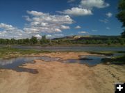
Green River near LaBarge. Photo by Alexandra Heil.
Green River near LaBarge
The Green River one mile north of LaBarge on Sunday, June 26th. Photo by Alexandra Heil.

Sandbags ready. Photo by Bob Rule, KPIN 101.1 FM Radio.
Sandbags ready
Volunteers and Sublette County Emergency Management personnel spent hours filling sandbags near Boulder Lake Estates on Saturday, June 25th, to help with flooding along Boulder Creek near Boulder Lake. Photo by Bob Rule, KPIN 101.1 FM Radio.
Flood Watch for Green River near LaBarge
Very high flows expected along the Green River near LaBarge for Monday through Wednesday
by National Weather Service
June 26, 2011

11:53AM, Sunday, June 26, 2011: The National Weather Service out of Riverton, Wyoming has issued a Flood Watch for very high flows along the Green River near LaBarge for Monday through Wednesday, June 27-29, 2011.

Peak snowmelt runoff along the Upper Green River Basin will cause very high flows along the Green River Monday through Wednesday. The Green River near LaBarge is expected to rise to near flood stage by early Wednesday. The high flows expected on Wednesday near LaBarge will be the highest since 1982. Flooding of homes and property along the Green River south of LaBarge could occur. Sublette County road 318 south of LaBarge near the river may be under water.

A Flood Watch means there is a potential for flooding based on current forecasts. You should monitor later forecasts and be alert for possible flood warnings. Those living in areas prone to flooding should be prepared to take action should flooding develop.
____________________________________

Editor's Note: Included in this story are photos from various locations in the county showing water conditions on Saturday, June 25, and Sunday, June 26, 2011. Photos by Alexandra Hiel-showing the Green River one mile north of LaBarge; Bob Rule; David Rule showing Pine Creek at the Fremont Lake Dam; Clint Gilchrist and Dawn Ballou showing the Green River and Horse Creek near Daniel and the New Fork River just north of Hwy 351.


Related Links
  • www.weather.gov - National Weather Service

  • Green River near LaBarge. Photo by Alexandra Heil. .
    Green River near LaBarge
    The Green River one mile north of LaBarge on Sunday, June 26th. Photo by Alexandra Heil.

    Pine Creek high flow. Photo by David Rule.
    Pine Creek high flow
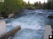
    Water flowing out of Fremont Lake into Pine Creek on Saturday, June 25th. Photo by David Rule.

    Fremont Lake Dam. Photo by David Rule.
    Fremont Lake Dam
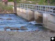
    Upstream view of Fremont Lake Dam for Pine Creek on Saturday, June 25th. Photo by David Rule.

    Fremont Lake Dam - downstream. Photo by David Rule.
    Fremont Lake Dam - downstream
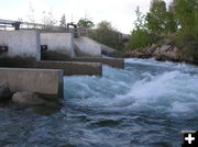
    Downstream view of flow from the Fremont Lake Dam into Pine Creek on Saturday, June 25th. Picture by David Rule.

    Fremont Lake dam gauge. Photo by David Rule.
    Fremont Lake dam gauge
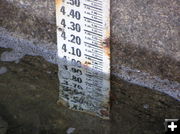
    Gauge showing the water level of Fremont Lake at the outlet dam on Saturday, June 25th. Photo by David Rule.

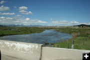
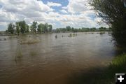
    Green River. Photo by Dawn Ballou, Pinedale Online.
    Green River
    Green River flowing south where it crosses US 189 just north of Daniel. Photo taken Sunday afternoon, June 26th. Photo by Dawn Ballou, Pinedale Online!

    Horse Creek. Photo by Dawn Ballou, Pinedale Online.
    Horse Creek
    Horse Creek, looking downstream, at the crossing with US 189 just south of Daniel on Sunday afternoon, June 26th. Photo by Dawn Ballou, Pinedale Online!

    Horse Creek near Daniel. Photo by Dawn Ballou, Pinedale Online.
    Horse Creek near Daniel
    Horse Creek south of Daniel at crossing with US 189 on Sunday afternoon, June 26th. Photo by Dawn Ballou, Pinedale Online!

    Horse Creek upstream. Photo by Clint Gilchrist, Pinedale Online.
    Horse Creek upstream
    View looking upstream Horse Creek at its crossing with US 189 just south of Daniel on Sunday afternoon, June 26th. Photo by Clint Gilchrist, Pinedale Online!

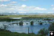
    New Fork River. Photo by Clint Gilchrist, Pinedale Online!.
    New Fork River
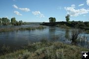
    New Fork River The New Fork River is near full bank just north of Hwy 351 east of Paradise Road and the BLM boat access area. Note that upstream irrigators are pulling water out of the river, removing some of the high water flows that would otherwise be going downstream. Photo taken Saturday, June 24th, by Clint Gilchrist, Pinedale Online!

    New Fork Hwy 351 bridge. Photo by Dawn Ballou, Pinedale Online.
    New Fork Hwy 351 bridge
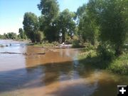
    View of the New Fork River just above the Hwy 351 bridge on Saturday, June 25th. Photo by Dawn Ballou, Pinedale Online!

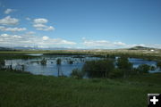
    New Fork River - June 25. Photo by Dawn Ballou, Pinedale Online.
    New Fork River - June 25
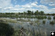
    New Fork River overflow at the new historic park north of Hwy 351 on Saturday, June 25th. These are similar river conditions to what Lander Trail/Oregon Trail emigrants would have encountered when crossing the New Fork in late June in the mid-1800s, resulting in drownings, overturned wagons, and loss of livestock in the high water during the dangerous crossing. Photo by Dawn Ballou, Pinedale Online!
    Pinedale Online > News > June 2011 > Flood Watch

    Pinedale Online!
    Pinedale Online! PO Box 2250, Pinedale, WY 82941
    Phone: (307) 360-7689 or (307) 276-5699, Fax: (307) 276-5414

    Office Outlet in Pinedale, 43 S. Sublette
    E-mail:support@pinedaleonline.com

    Copyright © 2011 Pinedale Online. All rights reserved.
    Pictures and content cannot be used in whole or part without permission.