Bear
Wyoming Range tour offers spectacular scenery and wildlife viewing opportunities
by Dawn Ballou
June 26, 2005
Photos by Clint Gilchrist and Dawn Ballou
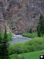
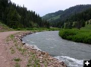
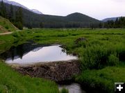
Last weekend we scoped out the Wyoming Range to see current conditions. We explored from South Piney Creek, over to LaBarge Creek, then north into the Grey’s River drainage, then up Sheep Creek and over McDougal Pass to return to the Green River Valley. This is the country west of Big Piney in the Wyoming/Salt River Range mountains, through the LaBarge and Grey’s River drainages. All in all, it’s a long day drive covering roughly 100 miles round trip deep into sparsely traveled back roads far from anywhere. This route follows a portion of the Lander Cut-off of the Oregon Trail, traversed by thousands of emigrants headed west by wagon train in the late 1800s. Beautiful mountain and forest country, lots of wildlife and rich in history!
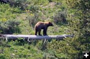
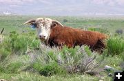
The highlight of our trip was seeing a cinnamon colored-black bear along LaBarge Creek near the junction with South Piney Creek road. There are plenty of bears in this country, but seeing one from the road is rare. We spotted him crossing the road in front of us. Then he quickly headed over the road bank down into the willow-covered creek bottom. He swam swollen LaBarge Creek and disappeared into the tall willows, then reappeared out of the thicket on the other side of the drainage. It only took him seconds to climb the steep hillside, taking a moment to pose briefly on a log to look back the way he had come, and then climb up into the timber and vanish. Although technically called a black bear, they can come in various color phases, and this one had a beautiful cinnamon-colored fur coat.
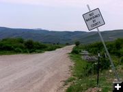
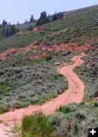
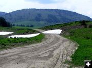
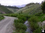
This trip took us through ranches west of Big Piney deep into the Bridger-Teton National Forest of the Wyoming Range mountains. These back roads are dirt and gravel, and are meant to be driven at a leisurely pace. The entire route and over McDougal Pass are on dry roads free of snow now. The highest mountain peaks still have some snow, but it is melting fast.
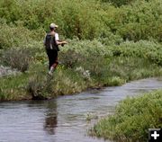
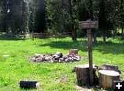
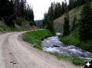
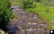
All the streams are still running somewhat high, but appear to be past the peak spring flow stage and clearing up a bit. If you plan to fish, be sure to check the state regulations for the stretch of stream you want to drop in your line, as regulations vary on different stretches of the same stream. Fire danger is still low, so campfires are fine whether you settle your RV or tent into one of the unlimited dispersed camping spots along the way or choose to stay in the developed Forest Service campground along the Grey’s River.
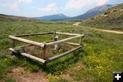
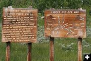
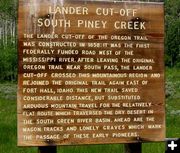
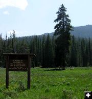
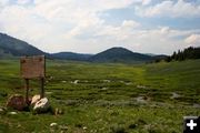
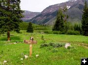
The route follows the Lander Cut-off of the Oregon Trail, and there are several historic interpretive signs along the way. Fenced-off emigrant graves stand alone as reminders of the thousands of people who passed this way almost 150 years ago in the hopes of finding a new life in the west. It was a perilous journey and many people succumbed along the way and were buried along the trail. One of the places on this route is Elizebeth Meadows, where 32-year old Elizebeth Paul died while giving birth to her eighth child while journeying west on a wagon train from Fremont, Iowa to the Washington Territory in 1862. She was buried in a beautiful wildflower-filled meadow beneath a tall lone pine tree, which still stands by her fenced-off grave today.
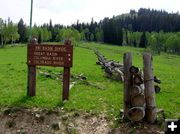
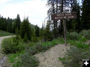
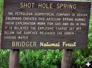
This trip follows South Piney Creek, LaBarge Creek, Greys River, Sheep Creek, North Piney Creek and numerous other smaller creeks in all these main drainages. The route traverses the Tri-Basin Divide, a point between the headwaters of LaBarge Creek and the Greys River where a drop of water may flow into one of three watershed basins: The Colorado River basin, the Great Basin, or the Columbia River Basin, depending on which side of the divide it falls. If you are into geology, you’ll note the coal seams in the twisted rocky canyon sidewalls, and the oil derricks and natural gas drilling operations that have been going on for decades.
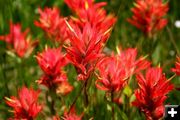
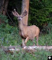
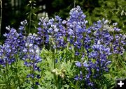
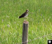
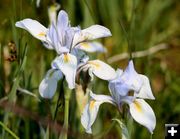
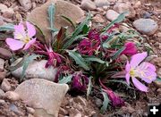
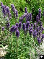
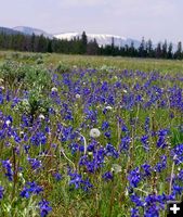
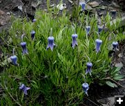
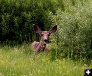
This drive can be done in four or five hours if you just want to drive without many stops and enjoy the scenery. If yours is like our trip, it can easily turn into a 10-hour day drive with many stops along the way to bird watch, look at the incredible variety of wildflowers, read all the historic signs and ponder their stories, watch the deer, antelope, moose and other plentiful wildlife (if you are really lucky, a bear!), and take time to drop a fishing line into one of the scenic creeks.
This is a great place to spend a glorious relaxing weekend in the mountains, far from civilization and the crowds. There are many dispersed camping spots, miles of dirt and gravel roads for 4-wheeling, mountain biking or riding motorcycles, and plenty of great stream fishing spots. As an added bonus, your cell phone (or your kid’s) probably won’t get reception or ring for the whole time you are enjoying the escape into mountains!
If you take this trip, be sure to pack all the food and drinks everyone will want for the whole day. This is remote country and there are no towns or services along the way. Access from Pinedale is from Hwy 189 south of Daniel turning onto Ryegrass Road to the forest boundary over McDougal Pass down Sheep Creek to Greys River. From Big Piney, take County Road #142 to Snider Basin/LaBarge Creek. Start with a full tank of gas and have a good spare tire (and jack) along, just in case.
Bring sunscreen, mosquito repellant, a map if you aren’t familiar with these back roads, a fishing pole if you like to stream fish, and a camera. Bring clothes to layer for a variety of weather from warm & sunny and a possible cool afternoon thundershower which can make things quite chilly. Whether you make a day drive or weekend camping trip out of it, this is a wonderful get-away trip into the mountains to enjoy beautiful scenery, wildlife viewing, wildflowers, fresh air, and peace and quiet.
|
